
1949 Map of Fairbanks D-4
USGS Topo · Published 1958About this map
The Alaska Railroad anchors the southern edge of this interior landscape, following the path of Goldstream Creek through a complex network of wetlands and upland peaks. The 1949 topography reveals a remote wilderness defined by the vast Minto Lakes system and the winding Chatanika River. Human activity is sparse but significant, centered on the railroad corridor where the Section House, the station at Dunbar, and the settlement of Standard provided vital infrastructure for northern transport.
Find a feature on this map
24 named features on this map. Tap any name to fly to it.
Don’t see what you’re looking for? This feature index may not catch every label — zoom into the map to look around manually.
Map Details
Editions of this 1949 Fairbanks D-4 Map
5 editions found
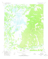
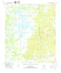
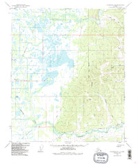
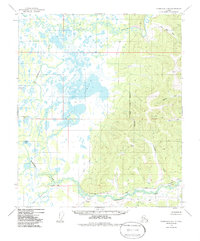
Other maps of this area

1945 · Livengood
USGS Topo · 1:250,000

1949 · Fairbanks D-3
USGS Topo · 1:63,360

1950 · Fairbanks
USGS Topo · 1:250,000

1950 · Fairbanks C-3
USGS Topo · 1:63,360

1950 · Fairbanks C-5
USGS Topo · 1:63,360

1950 · Fairbanks C-4
USGS Topo · 1:63,360

1950 · Fairbanks D-5
USGS Topo · 1:63,360

1950 · Fairbanks D-3
USGS Topo · 1:63,360

1951 · Fairbanks
USGS Topo · 1:250,000

1951 · Livengood
USGS Topo · 1:250,000