
1950 Map of Fairbanks C-5
USGS Topo · Published 1961About this map
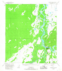
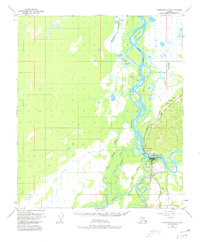
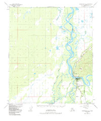
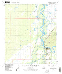
The Tanana River and its complex network of sloughs and channels dominate this mid-century Alaskan landscape, where the confluence with the Nenana River serves as a vital transport junction. At this crossing sits Nenana, a hub defined by the route of the Alaska Railroad and the proximity of the Nenana Airfield. The map reveals a frontier economy transitioning between traditional river travel and modern aviation, noted by the presence of a Ferry and an Airway Beacon. Just across the water, North Nenana and the settlement at Berg mark the reach of the rail line through the dense wetlands. Further into the interior, the terrain is defined by names like Totchaket Slough and Linder Lakes, while a Sled Road and scattered Cabins suggest the seasonal movement and subsistence patterns characteristic of the Yukon-Koyukuk region before more permanent modern infrastructure took hold.
Find a feature on this map
23 named features on this map. Tap any name to fly to it.
Don’t see what you’re looking for? This feature index may not catch every label — zoom into the map to look around manually.
Map Details
Editions of this 1950 Fairbanks C-5 Map
5 editions found
Other maps of this area

1949 · Fairbanks B-5
USGS Topo · 1:63,360

1949 · Fairbanks D-4
USGS Topo · 1:63,360

1949 · Fairbanks B-4
USGS Topo · 1:63,360

1950 · Fairbanks
USGS Topo · 1:250,000

1950 · Fairbanks C-4
USGS Topo · 1:63,360

1950 · Fairbanks D-5
USGS Topo · 1:63,360

1950 · Fairbanks B-5
USGS Topo · 1:63,360

1951 · Fairbanks B-5
USGS Topo · 1:63,360

1951 · Fairbanks
USGS Topo · 1:250,000

1952 · Fairbanks C-4
USGS Topo · 1:63,360