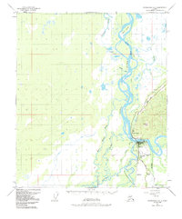
1950 Map of Fairbanks C-5
USGS Topo · Published 1991About this map
The confluence of the Tanana River and the Nenana River serves as the focal point for this interior Alaska landscape, where the town of Nenana is established as a critical transport junction. Situated at the crossroads of the Alaska Railroad and the Tanana waterway, the town’s layout is defined by the Nenana Corp Boundary and includes the Nenana Municipal Airport. The surrounding terrain is a complex network of wetlands and shifting watercourses, including Soldier Slough, Nunivak Slough, and Sawmill Island, illustrating the dynamic nature of the subarctic river systems.
Find a feature on this map
28 named features on this map. Tap any name to fly to it.
Don’t see what you’re looking for? This feature index may not catch every label — zoom into the map to look around manually.
Map Details
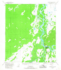
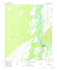
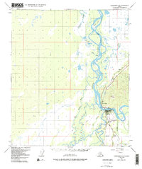
Editions of this 1950 Fairbanks C-5 Map
5 editions found
Other maps of this area

1949 · Fairbanks B-5
USGS Topo · 1:63,360

1949 · Fairbanks D-4
USGS Topo · 1:63,360

1949 · Fairbanks B-4
USGS Topo · 1:63,360

1950 · Fairbanks
USGS Topo · 1:250,000

1950 · Fairbanks C-5
USGS Topo · 1:63,360

1950 · Fairbanks C-4
USGS Topo · 1:63,360

1950 · Fairbanks D-5
USGS Topo · 1:63,360

1950 · Fairbanks B-5
USGS Topo · 1:63,360

1951 · Fairbanks B-5
USGS Topo · 1:63,360

1951 · Fairbanks
USGS Topo · 1:250,000