
1949 Map of Fairbanks B-4
USGS Topo · Published 1963About this map
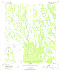
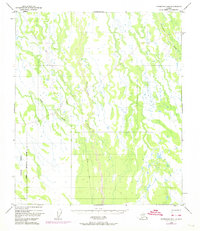
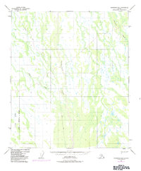
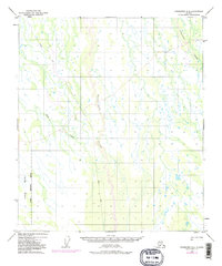
The Tatlanika River and its upper tributaries dominate this mid-century interior landscape, as seen in aerial photography from 1949. This survey captures a region defined by complex drainage patterns, where the main river channel is flanked by the Tatlanika Creek and Fish Creek. The presence of the Clear Military Reservation Boundary along the southwestern corner indicates the early strategic importance of this corridor during the Cold War era. The terrain is marked by a network of seasonal routes, most notably a Winter Trail that cuts through the northwestern quadrant, suggesting the area's historical reliance on frozen ground for overland transport. This mapping project, which includes minor revisions from 1962, provides a primary record of the unsurveyed and unmarked land lines as they were predetermined by the Bureau of Land Management.
Find a feature on this map
5 named features on this map. Tap any name to fly to it.
Don’t see what you’re looking for? This feature index may not catch every label — zoom into the map to look around manually.
Map Details
Editions of this 1949 Fairbanks B-4 Map
5 editions found
Other maps of this area

1949 · Fairbanks B-5
USGS Topo · 1:63,360

1949 · Fairbanks B-3
USGS Topo · 1:63,360

1950 · Fairbanks
USGS Topo · 1:250,000

1950 · Fairbanks C-3
USGS Topo · 1:63,360

1950 · Fairbanks C-5
USGS Topo · 1:63,360

1950 · Fairbanks A-5
USGS Topo · 1:63,360

1950 · Fairbanks C-4
USGS Topo · 1:63,360

1950 · Fairbanks A-4
USGS Topo · 1:63,360

1950 · Fairbanks A-3
USGS Topo · 1:63,360

1950 · Fairbanks B-5
USGS Topo · 1:63,360