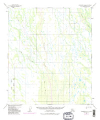
1949 Map of Fairbanks B-4
USGS Topo · Published 1984About this map
Tatlanika River and Tatlanika Creek dominate this landscape, winding through a region characterized by intricate drainage patterns and expansive wetlands. Compiled from 1949 aerial photography with 1972 revisions, the map highlights the transition between the natural waterways and the managed expanse of the Clear Military Reservation Boundary that occupies the southwestern portion of the quadrangle. A primary Winter Trail provides the only significant terrestrial route through the terrain, suggesting a seasonal reliance on frozen ground for movement and survey work. The presence of Fish Creek further emphasizes the dense hydrological network of the Alaskan interior during the mid-20th century, before major modern development altered the footprint of these remote drainage basins.
Find a feature on this map
6 named features on this map. Tap any name to fly to it.
Don’t see what you’re looking for? This feature index may not catch every label — zoom into the map to look around manually.
Map Details
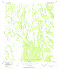
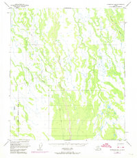
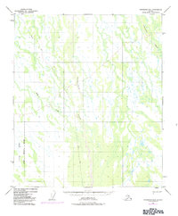
Editions of this 1949 Fairbanks B-4 Map
5 editions found
Other maps of this area

1949 · Fairbanks B-5
USGS Topo · 1:63,360

1949 · Fairbanks B-4
USGS Topo · 1:63,360

1949 · Fairbanks B-3
USGS Topo · 1:63,360

1950 · Fairbanks
USGS Topo · 1:250,000

1950 · Fairbanks C-3
USGS Topo · 1:63,360

1950 · Fairbanks C-5
USGS Topo · 1:63,360

1950 · Fairbanks A-5
USGS Topo · 1:63,360

1950 · Fairbanks C-4
USGS Topo · 1:63,360

1950 · Fairbanks A-4
USGS Topo · 1:63,360

1950 · Fairbanks A-3
USGS Topo · 1:63,360