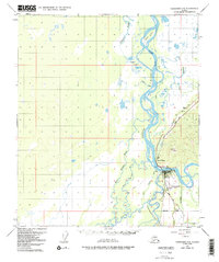
1950 Map of Fairbanks C-5
USGS Topo · Published 1991About this map
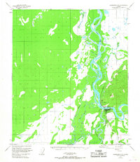
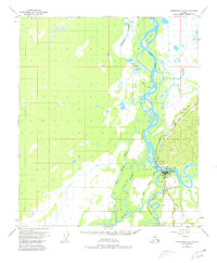
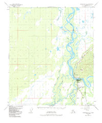
Nenana sits at the critical junction of the Tanana River and the Nenana River, serving as a vital transport hub for the Alaskan interior. This 1950 survey, with revisions into the late 1970s, details the infrastructure supporting this riverfront community, including the Alaska Railroad line and the Nenana Municipal Airport. The map highlights a complex aquatic landscape of sloughs and islands, such as Totchaket Slough and Sawmill Island, which defined local navigation and settlement patterns before modern road expansion.
Find a feature on this map
27 named features on this map. Tap any name to fly to it.
Don’t see what you’re looking for? This feature index may not catch every label — zoom into the map to look around manually.
Map Details
Editions of this 1950 Fairbanks C-5 Map
5 editions found
Other maps of this area

1949 · Fairbanks B-5
USGS Topo · 1:63,360

1949 · Fairbanks D-4
USGS Topo · 1:63,360

1949 · Fairbanks B-4
USGS Topo · 1:63,360

1950 · Fairbanks
USGS Topo · 1:250,000

1950 · Fairbanks C-5
USGS Topo · 1:63,360

1950 · Fairbanks C-4
USGS Topo · 1:63,360

1950 · Fairbanks D-5
USGS Topo · 1:63,360

1950 · Fairbanks B-5
USGS Topo · 1:63,360

1951 · Fairbanks B-5
USGS Topo · 1:63,360

1951 · Fairbanks
USGS Topo · 1:250,000