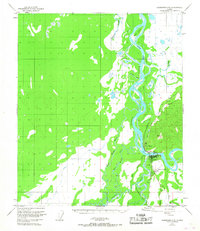
1950 Map of Fairbanks C-5
USGS Topo · Published 1967About this map
The Tanana River and Nenana River converge in this 1950s interior Alaskan landscape, marking a vital transportation node where the Alaska Railroad meets the waterway. The settlement of Nenana is the focal point, situated at the bend of the river and featuring the Nenana Airfield with its Airway Beacon. The presence of a Ferry and Gaging Sta near the rail crossing underscores the river's role as both a conduit and a challenge for movement. Across the water, North Nenana sits along the rail line as it heads toward Berg.
Find a feature on this map
31 named features on this map. Tap any name to fly to it.
Don’t see what you’re looking for? This feature index may not catch every label — zoom into the map to look around manually.
Map Details
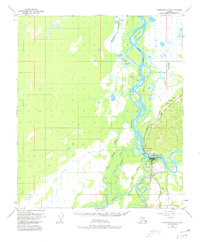
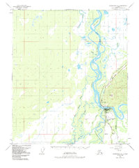
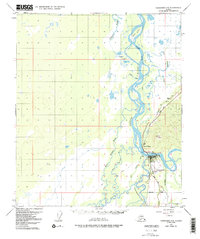
Editions of this 1950 Fairbanks C-5 Map
5 editions found
Other maps of this area

1949 · Fairbanks B-5
USGS Topo · 1:63,360

1949 · Fairbanks D-4
USGS Topo · 1:63,360

1949 · Fairbanks B-4
USGS Topo · 1:63,360

1950 · Fairbanks
USGS Topo · 1:250,000

1950 · Fairbanks C-5
USGS Topo · 1:63,360

1950 · Fairbanks C-4
USGS Topo · 1:63,360

1950 · Fairbanks D-5
USGS Topo · 1:63,360

1950 · Fairbanks B-5
USGS Topo · 1:63,360

1951 · Fairbanks B-5
USGS Topo · 1:63,360

1951 · Fairbanks
USGS Topo · 1:250,000