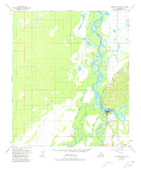
1950 Map of Fairbanks C-5
USGS Topo · Published 1980About this map
The confluence of the Tanana River and the Nenana River dominates this mid-century landscape, highlighting a critical transportation junction in the Alaska interior. The town of Nenana sits at the heart of the map, where The Alaska Railroad crosses the water near the Nenana Municipal Airport and its Airway Beacon. This survey captures the infrastructure of the era, from the Ferry crossing to the primitive Sled Road network traversing the lowlands.
Find a feature on this map
28 named features on this map. Tap any name to fly to it.
Don’t see what you’re looking for? This feature index may not catch every label — zoom into the map to look around manually.
Map Details
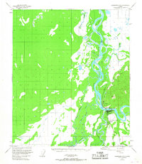
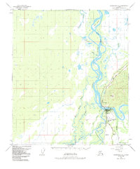
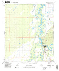
Editions of this 1950 Fairbanks C-5 Map
5 editions found
Other maps of this area

1949 · Fairbanks B-5
USGS Topo · 1:63,360

1949 · Fairbanks D-4
USGS Topo · 1:63,360

1949 · Fairbanks B-4
USGS Topo · 1:63,360

1950 · Fairbanks
USGS Topo · 1:250,000

1950 · Fairbanks C-5
USGS Topo · 1:63,360

1950 · Fairbanks C-4
USGS Topo · 1:63,360

1950 · Fairbanks D-5
USGS Topo · 1:63,360

1950 · Fairbanks B-5
USGS Topo · 1:63,360

1951 · Fairbanks B-5
USGS Topo · 1:63,360

1951 · Fairbanks
USGS Topo · 1:250,000