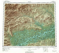
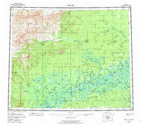
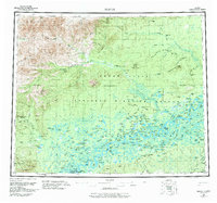
1956 Map of Beaver
USGS Topo · Published 1962About this map
The Arctic Circle bisects this subarctic landscape where the Yukon River breaks into a dense network of sloughs and channels across the Yukon Flats. Indigenous settlements and river outposts like Beaver and Stevens Village serve as the primary human hubs along the southern waterway, while the northern terrain rises sharply toward Nelson Mountain and the Twentynine Mile Ridge. This mid-century topography reveals a world defined by seasonal movement, following the Winter Trail and a series of numbered cabins, such as Fifty-six Mile Cabin and Thirty-six Mile Cabin, which provided essential shelter along the remote drainage of the Hadweenzic River. The map also preserves the location of Dall City (Site) and the riverside camps at Kings Slough Village, illustrating the transition from gold-rush era sites to established Native Alaskan communities.
Find a feature on this map
137 named features on this map. Tap any name to fly to it.
Don’t see what you’re looking for? This feature index may not catch every label — zoom into the map to look around manually.
Map Details
Editions of this 1956 Beaver Map
7 editions found

Other maps of this area

1945 · Livengood
USGS Topo · 1:250,000

1951 · Fort Yukon
USGS Topo · 1:250,000

1951 · Bettles
USGS Topo · 1:250,000

1951 · Tanana
USGS Topo · 1:250,000

1951 · Chandalar
USGS Topo · 1:250,000

1951 · Livengood
USGS Topo · 1:250,000

1951 · Christian
USGS Topo · 1:250,000

1951 · Beaver
USGS Topo · 1:250,000

1951 · Wiseman
USGS Topo · 1:250,000

1951 · Circle
USGS Topo · 1:250,000