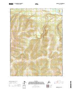
2017 Map of Chandalar A-2 SW
USGS Topo · Published 2017About this map
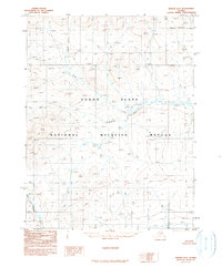
The Teedriinjik River flows through the northern reaches of this interior Alaskan landscape, a region defined by high-elevation terrain and remote watersheds. The drainage basin is dominated by the course of Schilling Cr, which winds through multiple townships including t26n r1w and t27n r2w. This 2017 survey reflects a largely undeveloped wilderness within the Yukon-Koyukuk Census Area, where the topography rises sharply from the river valleys to several unnamed peaks exceeding 2,400 feet. The map provides a precise record of the natural hydrology and Public Land Survey System boundaries at a 1:25,000 scale, capturing a snapshot of the subarctic environment before any significant modern infrastructure reached these specific coordinates.
Find a feature on this map
8 named features on this map. Tap any name to fly to it.
Don’t see what you’re looking for? This feature index may not catch every label — zoom into the map to look around manually.
Map Details
Editions of this 2017 Chandalar A-2 SW Map
This is the sole edition of this map. No revisions or reprints were ever made.
Other maps of this area

1951 · Chandalar
USGS Topo · 1:250,000

1951 · Beaver
USGS Topo · 1:250,000

1956 · Chandalar
USGS Topo · 1:250,000

1956 · Beaver
USGS Topo · 1:250,000

1964 · Chandalar
USGS Topo · 1:250,000

1964 · Beaver
USGS Topo · 1:250,000
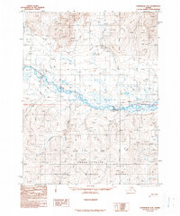
1990 · Chandalar A-2
USGS Topo · 1:63,360
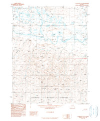
1990 · Chandalar A-3
USGS Topo · 1:63,360
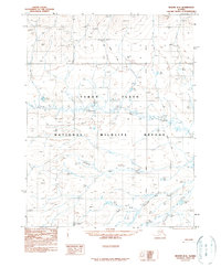
1990 · Beaver D-2
USGS Topo · 1:63,360
1990 · Beaver D-3
USGS Topo · 1:63,360