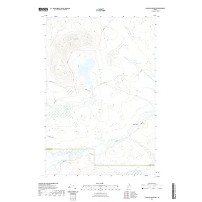
2021 Map of Chandler Mountain
USGS Topo · Published 2021About this map
Chandler Mtn dominates the northern landscape of this Maine backcountry, where steep contours rise above a complex network of glacial brooks and ponds. The terrain is defined by its water system, with Chandler Lake and Burnt Pond feeding into various drainages like Deadwater Brook and Farm Camp Brook. The southern portion of the sheet is marked by the winding course of the Aroostook River, which forms the primary corridor for movement through the region. At Gilman Beach, the river creates a rare point of interest along the shoreline.
Find a feature on this map
18 named features on this map. Tap any name to fly to it.
Don’t see what you’re looking for? This feature index may not catch every label — zoom into the map to look around manually.
Map Details
Editions of this 2021 Chandler Mountain Map
This is the sole edition of this map. No revisions or reprints were ever made.
Other maps of this area

1930 · Greenlaw
USGS Topo · 1:48,000

1931 · Mooseleuk Lake
USGS Topo · 1:48,000

1933 · Greenlaw
USGS Topo · 1:62,500

1935 · Mooseleuk Lake
USGS Topo · 1:62,500

1954 · Millinocket Lake
USGS Topo · 1:62,500

1954 · Grand Lake Seboeis
USGS Topo · 1:62,500

1954 · Presque Isle
USGS Topo · 1:250,000

1958 · Presque Isle
USGS Topo · 1:250,000

1960 · Presque Isle
USGS Topo · 1:250,000
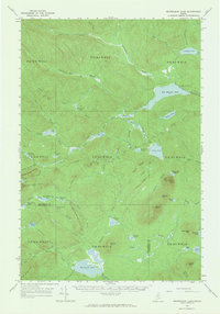
1963 · Mooseleuk Lake
USGS Topo · 1:62,500