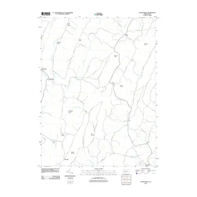
2010 Map of Chaneysville
USGS Topo · Published 2010About this map
Chaneysville and Elbinsville anchor the settlement patterns in this part of Bedford County, where the topography of the Ridge-and-Valley province dictates the layout of mountain roads and small hamlets. The landscape is defined by massive landforms like Big Mountain and Ragged Mountain, with the Pine Ridge Natural Area preserving a significant portion of the local environment. Watercourses such as Fifteenmile Creek, Bushy Fork, and Piney Creek carve narrow valleys between the ridges, providing the primary corridors for rural development. Notable local junctions like Five Forks and Millers Corners demonstrate how the early road network, including Milk and Water Rd and Chaneysville Rd, adapted to the steep gaps and high summits like Green Point. Small community markers such as Mount Zion and the Sweet Root Picnic Area suggest the enduring social and recreational geography of these remote Pennsylvania uplands.
Find a feature on this map
72 named features on this map. Tap any name to fly to it.
Don’t see what you’re looking for? This feature index may not catch every label — zoom into the map to look around manually.
Map Details
Editions of this 2010 Chaneysville Map
This is the sole edition of this map. No revisions or reprints were ever made.
Other maps of this area

1898 · Paw Paw
USGS Topo · 1:62,500

1899 · Flintstone
USGS Topo · 1:62,500

1900 · Pawpaw
USGS Topo · 1:62,500

1900 · Flintstone
USGS Topo · 1:62,500

1910 · Paw Paw
USGS Topo · 1:62,500

1927 · Clearville
USGS Topo · 1:48,000

1927 · Hyndman
USGS Topo · 1:62,500

1931 · Clearville
USGS Topo · 1:62,500

1931 · Hyndman
USGS Topo · 1:62,500

1944 · Hyndman
USGS Topo · 1:62,500
Featured Places
- Mann Township, PA
- Southampton Township, PA
- Monroe Township, PA
- Inglesmith, Mann Township
- Chaneysville, Southampton Township