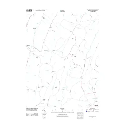
2013 Map of Chaneysville
USGS Topo · Published 2013About this map
Chaneysville and Elbinsville anchor this southern Bedford County landscape, where the topography is defined by the parallel rises of Ragged Mountain and Big Mountain. The drainage patterns of Fifteenmile Cr, Bushy Fork, and Piney Cr dictate the placement of small settlements and agricultural clearings. At Mount Zion, the elevation provides a central landmark for the surrounding ridge-and-valley terrain. Transportation in the area relies on a network of rural roads such as Black Valley Rd and Elk Lick Rd, which trace the base of the hollows. Small hamlets like Five Forks and Clear Ridge are scattered across the northern reaches, while the Sweet Root Picnic Area and Ragged Mountain Airport indicate the mix of recreational and specialized land use in this part of Pennsylvania. Genealogists may find interest in the proximity of family-named landmarks like Bowman Ridge and Steckman Ridge.
Find a feature on this map
96 named features on this map. Tap any name to fly to it.
Don’t see what you’re looking for? This feature index may not catch every label — zoom into the map to look around manually.
Map Details
Editions of this 2013 Chaneysville Map
This is the sole edition of this map. No revisions or reprints were ever made.
Other maps of this area

1898 · Paw Paw
USGS Topo · 1:62,500

1899 · Flintstone
USGS Topo · 1:62,500

1900 · Pawpaw
USGS Topo · 1:62,500

1900 · Flintstone
USGS Topo · 1:62,500

1910 · Paw Paw
USGS Topo · 1:62,500

1927 · Clearville
USGS Topo · 1:48,000

1927 · Hyndman
USGS Topo · 1:62,500

1931 · Clearville
USGS Topo · 1:62,500

1931 · Hyndman
USGS Topo · 1:62,500

1944 · Hyndman
USGS Topo · 1:62,500
Featured Places
- Mann Township, PA
- Southampton Township, PA
- Monroe Township, PA
- Inglesmith, Mann Township
- Chaneysville, Southampton Township