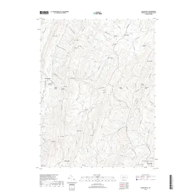
2019 Map of Chaneysville
USGS Topo · Published 2019About this map
Chaneysville serves as the focal point for this section of Bedford County, where the terrain is defined by a series of parallel ridges including Warrior Ridge, Clear Ridge, and Bowman Ridge. The landscape is a mix of small settlements and family history, evidenced by numerous burial sites such as the Fletcher Family Cem and the Ash - Snyder Cem. In the southern reaches, the village of Elbinsville sits near Bear Camp Br, while Inglesmith lies further east along Piney Cr.
Find a feature on this map
97 named features on this map. Tap any name to fly to it.
Don’t see what you’re looking for? This feature index may not catch every label — zoom into the map to look around manually.
Map Details
Editions of this 2019 Chaneysville Map
This is the sole edition of this map. No revisions or reprints were ever made.
Other maps of this area
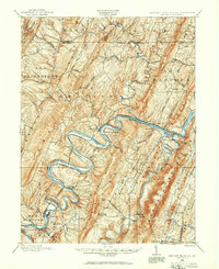
1898 · Paw Paw
USGS Topo · 1:62,500
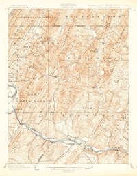
1899 · Flintstone
USGS Topo · 1:62,500
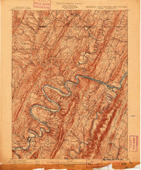
1900 · Pawpaw
USGS Topo · 1:62,500
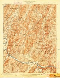
1900 · Flintstone
USGS Topo · 1:62,500
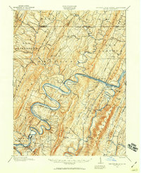
1910 · Paw Paw
USGS Topo · 1:62,500
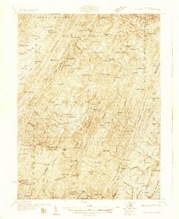
1927 · Clearville
USGS Topo · 1:48,000
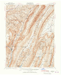
1927 · Hyndman
USGS Topo · 1:62,500
1931 · Clearville
USGS Topo · 1:62,500
1931 · Hyndman
USGS Topo · 1:62,500
1944 · Hyndman
USGS Topo · 1:62,500
Featured Places
- Mann Township, PA
- Southampton Township, PA
- Monroe Township, PA
- Inglesmith, Mann Township
- Chaneysville, Southampton Township