Loading...
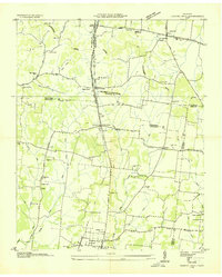
Loading map...1936 Map of Chapel Hill
USGS Topo · Published 1936About this map
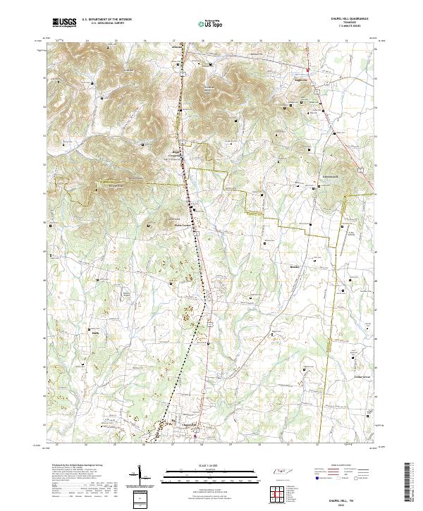
Chapel Hill serves as a primary hub within this 1936 survey, which documents a landscape transitioning through the early Tennessee Valley Authority era. The map reveals a complex network of rural infrastructure, including the Tennessee Electric Power Co Trans Line and the Duck River Elec Mem Corp Trans Line crossing the terrain. The area is defined by the Tennessee Basin Divide, where numerous watercourses like Thick Creek and Lick Creek drain the countryside.
Find a feature on this map
61 named features on this map. Tap any name to fly to it.
Don’t see what you’re looking for? This feature index may not catch every label — zoom into the map to look around manually.
Map Details
Date Portrayed1936
Date Published1936
PublisherU.S. Geological Survey
Map TypeTopographic
Scale1:24,000
Physical Dimensions22 x 27.5 inches
Editions of this 1936 Chapel Hill Map
This is the sole edition of this map. No revisions or reprints were ever made.
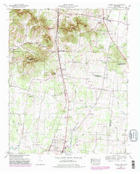
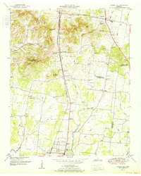
Historical Maps of Chapel Hill Through Time
8 maps found
Featured Locations
Source Details
SourceU.S. Geological Survey
CopyrightPublic Domain