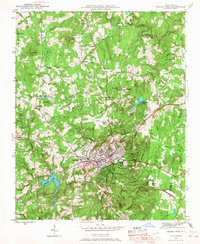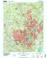
2022 Map of Chapel Hill
USGS Topo · Published 2022About this map
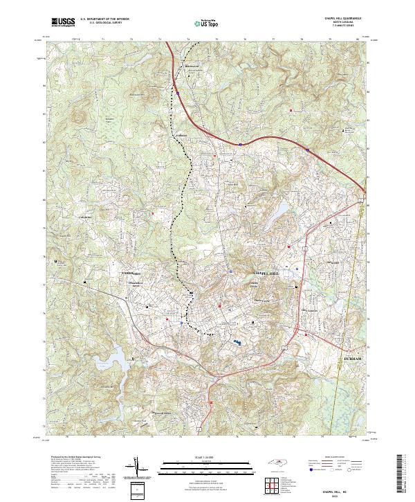
Chapel Hill and the sprawling campus of the University of North Carolina at Chapel Hill anchor this detailed study of central North Carolina's educational and cultural hub. The landscape is defined by its transition from the urban density of Carrboro and Durham into the wooded uplands of Blackwood Mtn and Piney Mtn. Local genealogy is well-documented through numerous family burial sites, including the Cheek and Whitaker Family Cem and the Weaver Family Cem, alongside larger historic grounds like the Old Chapel Hill Cem. Water features such as University Lake and the winding Morgan Cr frame the residential growth in Tenney Circle and Glen Lennox, illustrating how mid-century suburban developments like Plantation Acres integrated with the area's older agricultural roots and varied terrain.
Find a feature on this map
243 named features on this map. Tap any name to fly to it.
Don’t see what you’re looking for? This feature index may not catch every label — zoom into the map to look around manually.
Map Details
Editions of this 2022 Chapel Hill Map
This is the sole edition of this map. No revisions or reprints were ever made.
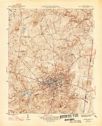
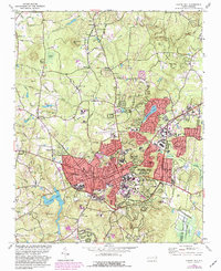
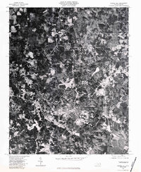
Historical Maps of Rangewood Through Time
7 maps found