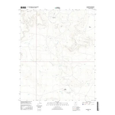
2017 Map of Chaperito
USGS Topo · Published 2017About this map
The Gallinas River snakes through this high-desert landscape of San Miguel County, carving a path between prominent features like E Mesa and Mesa Montosa. The settlement of Chaperito sits along the northern banks of the river, connected to the wider region by Co RD b47a. The landscape is defined by its water sources, from the primary river to numerous named springs such as Aguilar Spring, Agua Medio Spring, and Salitre Spring, which likely dictated the placement of early ranching and homesteading efforts.
Find a feature on this map
22 named features on this map. Tap any name to fly to it.
Don’t see what you’re looking for? This feature index may not catch every label — zoom into the map to look around manually.
Map Details
Editions of this 2017 Chaperito Map
This is the sole edition of this map. No revisions or reprints were ever made.
Other maps of this area

1890 · Bernal
USGS Topo · 1:125,000

1891 · Bernal
USGS Topo · 1:125,000

1892 · Corazon
USGS Topo · 1:125,000

1894 · Corazon
USGS Topo · 1:125,000

1894 · Bernal
USGS Topo · 1:125,000

1954 · Santa Fe
USGS Topo · 1:250,000

1958 · Santa Fe
USGS Topo · 1:250,000

1960 · Apache Springs
USGS Topo · 1:62,500

1963 · Pedro Miguel Peak
USGS Topo · 1:24,000

1963 · Cactus Tank
USGS Topo · 1:24,000