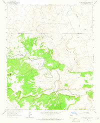
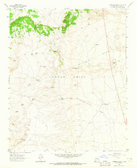
1963 Map of Pedro Miguel Peak
USGS Topo · Published 1965About this map
Anton Chico Grant and the Preston Beck Grant intersect along the winding course of the Pecos River, where the high desert landscape of eastern New Mexico is carved by deep drainages and isolated peaks. This 1963 survey shows a terrain defined by large land grants and ranching operations, centered around water sources like the Gallinas River and the Tiobero Windmill. The confluence of the Pecos and Gallinas rivers serves as a geographic anchor, while the high point of Pedro Miguel Peak overlooks the surrounding mesas.
Find a feature on this map
15 named features on this map. Tap any name to fly to it.
Don’t see what you’re looking for? This feature index may not catch every label — zoom into the map to look around manually.
Map Details
Editions of this 1963 Pedro Miguel Peak Map
This is the sole edition of this map. No revisions or reprints were ever made.
Other maps of this area

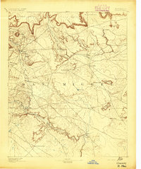
1890 · Bernal
USGS Topo · 1:125,000

1891 · Bernal
USGS Topo · 1:125,000

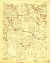
1892 · Corazon
USGS Topo · 1:125,000
1894 · Corazon
USGS Topo · 1:125,000
1894 · Bernal
USGS Topo · 1:125,000

1954 · Santa Fe
USGS Topo · 1:250,000

1958 · Santa Fe
USGS Topo · 1:250,000

1960 · Apache Springs
USGS Topo · 1:62,500
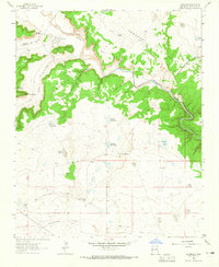
1963 · Colonias
USGS Topo · 1:24,000
1963 · Thompson Ranch
USGS Topo · 1:24,000