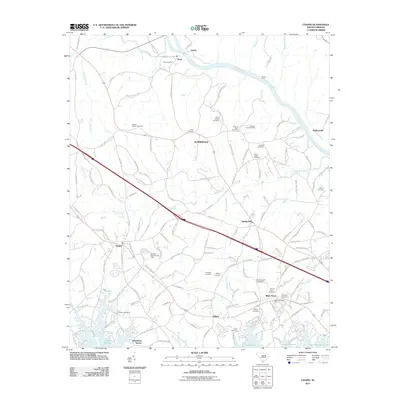
2011 Map of Chapin
USGS Topo · Published 2011About this map
The Broad River curves along the northern edge of this landscape, separating the railroad settlement at Alston and the high ground of Peak from the interior woodlands. To the south, the waters of Lake Murray define the shoreline, where residential developments like Dutchman Shores and Hilton meet the inlets of Stinking Creek. The area is characterized by an exceptionally high density of family and community burial grounds, including the David Bounts Cemetery, Thomas Boyd Cemetery, and Henry Eargle Cemetery, which serve as vital markers of the region's genealogical history. The town of Chapin serves as a central hub, while the White Rock Post Office and Chapin Park Dam D-1706 reflect the local infrastructure. The drainage patterns of Wateree Creek and Risters Creek illustrate the natural topography that influenced the placement of early homesteads and cemeteries like the Capers Chapel Cemetery.
Find a feature on this map
154 named features on this map. Tap any name to fly to it.
Don’t see what you’re looking for? This feature index may not catch every label — zoom into the map to look around manually.
Map Details
Editions of this 2011 Chapin Map
This is the sole edition of this map. No revisions or reprints were ever made.
Other maps of this area

1904 · Columbia
USGS Topo · 1:125,000

1941 · Spartanburg
USGS Topo · 1:250,000

1946 · Irmo
USGS Topo · 1:24,000

1947 · Richtex
USGS Topo · 1:24,000

1948 · Irmo
USGS Topo · 1:24,000

1949 · Richtex
USGS Topo · 1:24,000

1953 · Spartanburg
USGS Topo · 1:250,000

1960 · Spartanburg
USGS Topo · 1:250,000

1963 · Spartanburg
USGS Topo · 1:250,000

1964 · Spartanburg
USGS Topo · 1:250,000