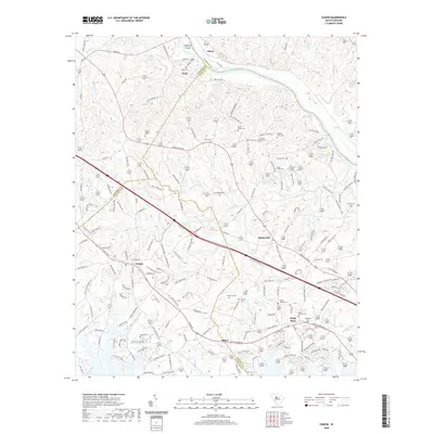
2020 Map of Chapin
USGS Topo · Published 2020About this map
The Broad River serves as a geographic anchor for this South Carolina landscape, defining the boundaries between Lexington Co, Richland Co, Newberry Co, and Fairfield Co. The terrain is marked by numerous family burial grounds and small settlements that speak to the deep-rooted genealogy of the area. Notable landmarks such as Busbys Shoals and Chapels Shoals interrupt the river's flow near Hampton Island, while the interior is dotted with legacy sites like Stuck Cem, Capers Chapel Cem, and Threewits Cem. Transport networks connect the growing community of Chapin to neighboring Spring Hill and White Rock, following routes like Columbia Ave and the modern interstate corridor. The map preserves the placement of original homestead landmarks, including David Bounts Cem and several private cemeteries that remain as quiet markers of the region's agricultural past.
Find a feature on this map
176 named features on this map. Tap any name to fly to it.
Don’t see what you’re looking for? This feature index may not catch every label — zoom into the map to look around manually.
Map Details
Editions of this 2020 Chapin Map
This is the sole edition of this map. No revisions or reprints were ever made.
Other maps of this area

1904 · Columbia
USGS Topo · 1:125,000

1941 · Spartanburg
USGS Topo · 1:250,000

1946 · Irmo
USGS Topo · 1:24,000

1947 · Richtex
USGS Topo · 1:24,000

1948 · Irmo
USGS Topo · 1:24,000

1949 · Richtex
USGS Topo · 1:24,000

1953 · Spartanburg
USGS Topo · 1:250,000

1960 · Spartanburg
USGS Topo · 1:250,000

1963 · Spartanburg
USGS Topo · 1:250,000

1964 · Spartanburg
USGS Topo · 1:250,000