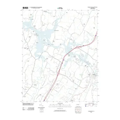
2010 Map of Charleston
USGS Topo · Published 2010About this map
Charleston sits on the southern bank of the Hiwassee River in Bradley County, a riverfront town defined by its water access and a dense concentration of burial grounds. The map documents numerous family and community sites, from the Charleston Community Cemetery to smaller legacy plots like the Williamson Cemetery, Godsey Cemetery, and Ruyan Cemetery. This density of named cemeteries suggests a deeply rooted local history and long-standing family ties to the land along the river's bends.
Find a feature on this map
92 named features on this map. Tap any name to fly to it.
Don’t see what you’re looking for? This feature index may not catch every label — zoom into the map to look around manually.
Map Details
Editions of this 2010 Charleston Map
This is the sole edition of this map. No revisions or reprints were ever made.
Other maps of this area

1886 · Cleveland
USGS Topo · 1:125,000

1892 · Cleveland
USGS Topo · 1:125,000

1895 · Cleveland
USGS Topo · 1:125,000

1901 · Cleveland
USGS Topo · 1:125,000
1935 · East Cleveland
USGS Topo · 1:24,000
1935 · Calhoun
USGS Topo · 1:24,000
1935 · Benton
USGS Topo · 1:24,000
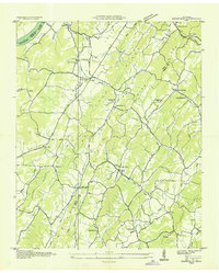
1935 · Goodfield
USGS Topo · 1:24,000
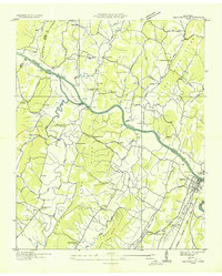
1935 · Charleston
USGS Topo · 1:24,000
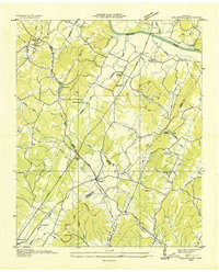
1935 · Birchwood
USGS Topo · 1:24,000