2022 Map of Charleston
USGS Topo · Published 2022About this map
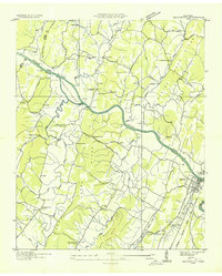
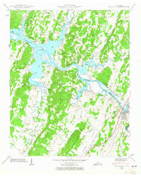
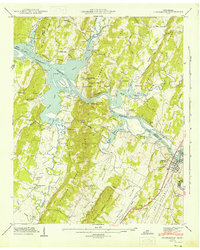
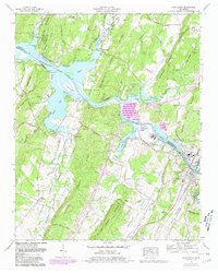
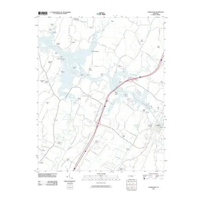
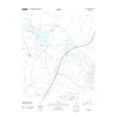
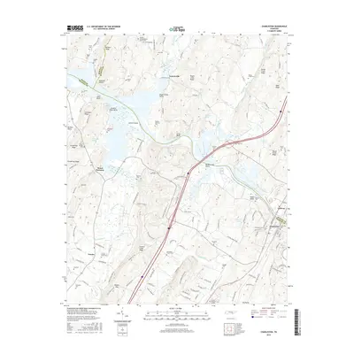
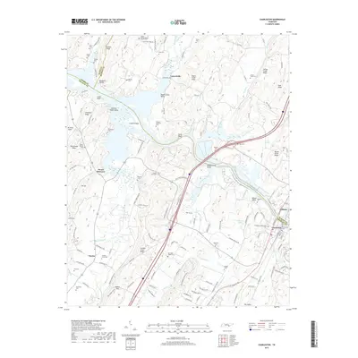
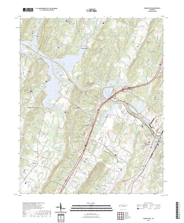
The Hiwassee River defines the landscape of this East Tennessee region, serving as the border between Meigs, McMinn, and Bradley counties. The twin settlements of Charleston and Calhoun sit at a prominent crossing point on opposite banks, where the NS railroad line and modern highways bridge the water. This 2022 survey details a terrain of parallel ridges and fertile valleys, such as Mouse Creek Valley and Candies Creek Valley, which have long supported agricultural communities like Lamontville and Eureka.
Find a feature on this map
164 named features on this map. Tap any name to fly to it.
Don’t see what you’re looking for? This feature index may not catch every label — zoom into the map to look around manually.
Map Details
Editions of this 2022 Charleston Map
This is the sole edition of this map. No revisions or reprints were ever made.
Historical Maps of Charleston Through Time
9 maps found