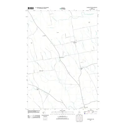
2011 Map of Charleston
USGS Topo · Published 2011About this map
Charleston and its surrounding countryside in Penobscot County are defined by a network of rural routes and waterway branches that shaped early settlement in this part of Maine. The area around West Charleston and Hicks Corner is characterized by a landscape of modest elevations such as Bull Hill and Hatch Hill, interspersed with the drainage basins of Crooked Brook and Rollins Brook. To the east, Rollins Mill serves as a reminder of the region's industrial past along these watercourses.
Find a feature on this map
52 named features on this map. Tap any name to fly to it.
Don’t see what you’re looking for? This feature index may not catch every label — zoom into the map to look around manually.
Map Details
Editions of this 2011 Charleston Map
This is the sole edition of this map. No revisions or reprints were ever made.
Other maps of this area

1902 · Bangor
USGS Topo · 1:62,500

1931 · Stetson
USGS Topo · 1:48,000

1932 · Dover-Foxcroft
USGS Topo · 1:48,000

1933 · Boyd Lake
USGS Topo · 1:62,500

1935 · Dover-Foxcroft
USGS Topo · 1:62,500

1935 · Stetson
USGS Topo · 1:62,500

1942 · Bangor
USGS Topo · 1:62,500

1946 · Bangor
USGS Topo · 1:62,500

1948 · Bangor
USGS Topo · 1:250,000

1951 · Boyd Lake
USGS Topo · 1:50,000