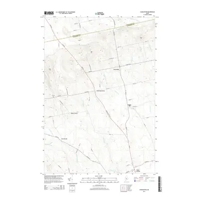
2014 Map of Charleston
USGS Topo · Published 2014About this map
Charleston serves as the central hub of this Penobscot County landscape, where the rural road network converges near West Charleston and the southern slopes of Bull Hill. The terrain is defined by a dense drainage system flowing toward the Kenduskeag Stream in the south and the West Branch-Dead Stream along the northern border. Small clusters of historical interest are scattered across the quadrangle, including the crossroad at Hicks Corner and the small settlement of Rollins Mill on the banks of Rollins Brook.
Find a feature on this map
63 named features on this map. Tap any name to fly to it.
Don’t see what you’re looking for? This feature index may not catch every label — zoom into the map to look around manually.
Map Details
Editions of this 2014 Charleston Map
This is the sole edition of this map. No revisions or reprints were ever made.
Other maps of this area

1902 · Bangor
USGS Topo · 1:62,500

1931 · Stetson
USGS Topo · 1:48,000

1932 · Dover-Foxcroft
USGS Topo · 1:48,000

1933 · Boyd Lake
USGS Topo · 1:62,500

1935 · Dover-Foxcroft
USGS Topo · 1:62,500

1935 · Stetson
USGS Topo · 1:62,500

1942 · Bangor
USGS Topo · 1:62,500

1946 · Bangor
USGS Topo · 1:62,500

1948 · Bangor
USGS Topo · 1:250,000

1951 · Boyd Lake
USGS Topo · 1:50,000