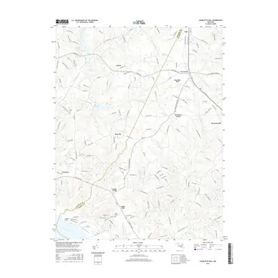
2016 Map of Charlotte Hall
USGS Topo · Published 2016About this map
Charlotte Hall and Mechanicsville anchor this southern Maryland landscape along the border of Charles and Saint Mary's counties. The area is defined by a dense network of local roads and watercourses flowing toward the Wicomico River, including Chaptico Cr and Gilbert Swamp Run. Small, named settlements such as Ryceville, Dubois, and Budds Creek are interspersed with significant local landmarks including the Trinity Cem and John Wesley Cem.
Find a feature on this map
153 named features on this map. Tap any name to fly to it.
Don’t see what you’re looking for? This feature index may not catch every label — zoom into the map to look around manually.
Map Details
Editions of this 2016 Charlotte Hall Map
This is the sole edition of this map. No revisions or reprints were ever made.
Other maps of this area

1892 · Leonardtown
USGS Topo · 1:62,500

1892 · Prince Frederick
USGS Topo · 1:62,500

1892 · Brandywine
USGS Topo · 1:62,500

1894 · Wicomico
USGS Topo · 1:62,500

1895 · Prince Frederick
USGS Topo · 1:62,500

1895 · Wicomico
USGS Topo · 1:62,500

1895 · Brandywine
USGS Topo · 1:62,500

1895 · Leonardtown
USGS Topo · 1:62,500

1895 · Nomini
USGS Topo · 1:125,000

1898 · Nomini
USGS Topo · 1:125,000