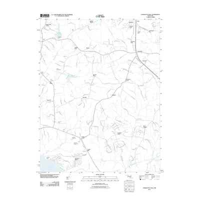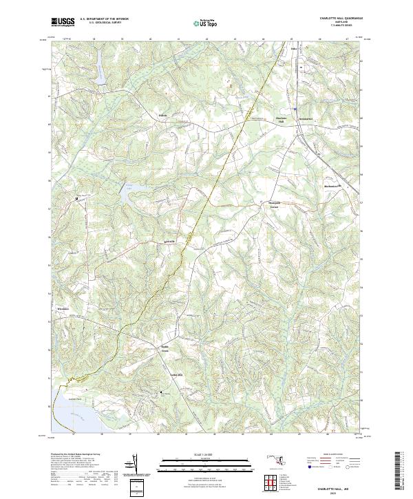
2023 Map of Charlotte Hall
USGS Topo · Published 2023About this map
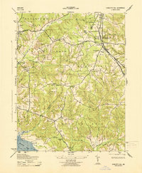
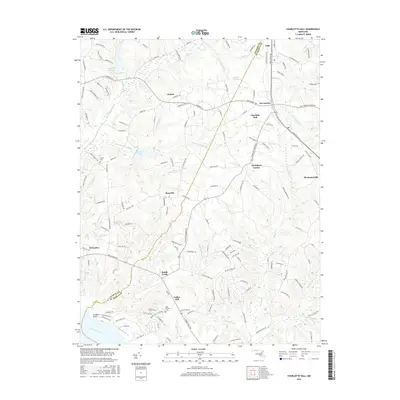
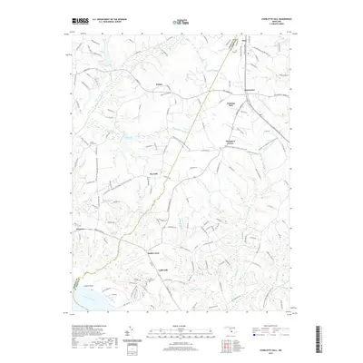
Charlotte Hall and Mechanicsville anchor this southern Maryland landscape at the boundary of Charles and St. Mary's Counties. The area is defined by a dense network of minor waterways including Gilbert Creek, Denton Run, and Chaptico Creek, which carve through the low-lying terrain toward the Wicomico River at Luckton Point. Historically significant locations for genealogists include Trinity Church Cem near Trinity Lake and the John Wesley Cem situated further south near Coffee Hill.
Find a feature on this map
157 named features on this map. Tap any name to fly to it.
Don’t see what you’re looking for? This feature index may not catch every label — zoom into the map to look around manually.
Map Details
Editions of this 2023 Charlotte Hall Map
This is the sole edition of this map. No revisions or reprints were ever made.
Historical Maps of Charlotte Hall Through Time
7 maps found