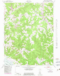
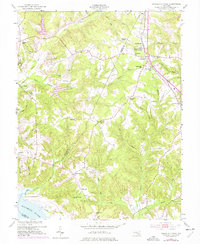
1953 Map of Charlotte Hall
USGS Topo · Published 1983About this map
Charlotte Hall Military Academy serves as a prominent landmark in this Southern Maryland landscape, where the border of Charles and St. Mary's counties follows the local drainage patterns. The map documents a predominantly rural environment defined by numerous small creek systems like Gilbert Creek, Killpeck Creek, and Chaptico Creek that feed toward the Wicomico River. Cultural markers from the mid-20th century include a network of local schools such as White Marsh Sch and Red Gate Sch, alongside several historic congregations including St Pauls Ch and John Wesley Ch. An interesting industrial transition is noted by the presence of an abandoned railroad line cutting through Newmarket and Charlotte Hall, while maritime activity is centered at Luckton Ldg and along the river shoreline.
Find a feature on this map
49 named features on this map. Tap any name to fly to it.
Don’t see what you’re looking for? This feature index may not catch every label — zoom into the map to look around manually.
Map Details
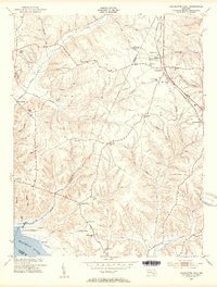
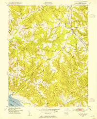
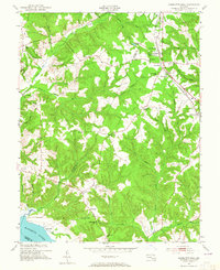
Editions of this 1953 Charlotte Hall Map
5 editions found
Other maps of this area

1892 · Leonardtown
USGS Topo · 1:62,500

1892 · Prince Frederick
USGS Topo · 1:62,500

1892 · Brandywine
USGS Topo · 1:62,500

1894 · Wicomico
USGS Topo · 1:62,500

1895 · Prince Frederick
USGS Topo · 1:62,500

1895 · Wicomico
USGS Topo · 1:62,500

1895 · Brandywine
USGS Topo · 1:62,500

1895 · Leonardtown
USGS Topo · 1:62,500

1895 · Nomini
USGS Topo · 1:125,000

1898 · Nomini
USGS Topo · 1:125,000