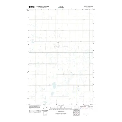
2011 Map of Chaseley
USGS Topo · Published 2011About this map
Chaseley serves as the quiet geographic and social hub of this landscape, characterized by the unique glacial pothole geology of North Dakota. The area's history is anchored by the Chaseley Cemetery and a grid of rural section roads, including County Rd 4 and Main St, which connect the scattered agricultural homesteads. The terrain is defined by a dense cluster of small, unnamed prairie wetlands and seasonal ponds, particularly concentrated south of the primary settlement. This 2011 survey, produced from NAIP imagery and GNIS data, preserves the layout of these rural prairie lifelines, showing the distribution of water and waypoints like 32nd Ave NE and 2nd St SE that define the local township structure.
Find a feature on this map
19 named features on this map. Tap any name to fly to it.
Don’t see what you’re looking for? This feature index may not catch every label — zoom into the map to look around manually.
Map Details
Editions of this 2011 Chaseley Map
This is the sole edition of this map. No revisions or reprints were ever made.
Other maps of this area

1945 · Manfred
USGS Topo · 1:62,500

1948 · Fessenden
USGS Topo · 1:62,500

1948 · Manfred
USGS Topo · 1:62,500

1949 · Fessenden SW
USGS Topo · 1:24,000

1949 · Manfred SW
USGS Topo · 1:24,000

1950 · Manfred SE
USGS Topo · 1:24,000

1950 · Manfred SW
USGS Topo · 1:24,000

1951 · Bowdon
USGS Topo · 1:24,000

1952 · New Rockford
USGS Topo · 1:250,000

1956 · New Rockford
USGS Topo · 1:250,000