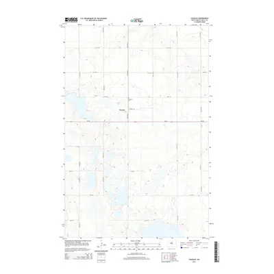
2014 Map of Chaseley
USGS Topo · Published 2014About this map
Chaseley sits at the heart of this Wells County landscape, a small prairie settlement defined by the grid of North Dakota’s interior. This 2014 survey captures a terrain dominated by numerous small seasonal lakes and wetlands characteristic of the drift prairie, where the natural hydrology still dictates the path of local routes like ND-200 and CR-4. Genealogists and local historians can locate the Chaseley Cem north of the main cluster of buildings, serving as a permanent landmark for the families who settled this agricultural region. The map reveals the precise layout of the community along Central Ave and Main St, showing a quiet rural network that has persisted well into the twenty-first century.
Find a feature on this map
22 named features on this map. Tap any name to fly to it.
Don’t see what you’re looking for? This feature index may not catch every label — zoom into the map to look around manually.
Map Details
Editions of this 2014 Chaseley Map
This is the sole edition of this map. No revisions or reprints were ever made.
Other maps of this area

1945 · Manfred
USGS Topo · 1:62,500

1948 · Fessenden
USGS Topo · 1:62,500

1948 · Manfred
USGS Topo · 1:62,500

1949 · Fessenden SW
USGS Topo · 1:24,000

1949 · Manfred SW
USGS Topo · 1:24,000

1950 · Manfred SE
USGS Topo · 1:24,000

1950 · Manfred SW
USGS Topo · 1:24,000

1951 · Bowdon
USGS Topo · 1:24,000

1952 · New Rockford
USGS Topo · 1:250,000

1956 · New Rockford
USGS Topo · 1:250,000