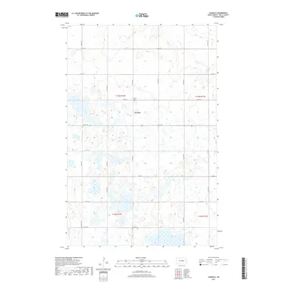
2017 Map of Chaseley
USGS Topo · Published 2017About this map
The small settlement of Chaseley sits at the heart of this prairie landscape in Wells County, North Dakota. The area is defined by a heavy concentration of wetlands and small lakes that pockmark the terrain between rolling hills. This 2017 survey shows a precise grid of rural roads, including 34th Ave NE and Main St, which serve the dispersed farmsteads characteristic of the region. Just north of the town center lies the Chaseley Cem, providing a focal point for genealogical research in the township. The map covers a significant portion of four townships, including T146n R72w and T145n R72w, illustrating how the land has been organized into square-mile sections. The lack of heavy industrial development emphasizes the area's continued reliance on agricultural land use and its natural drainage patterns.
Find a feature on this map
24 named features on this map. Tap any name to fly to it.
Don’t see what you’re looking for? This feature index may not catch every label — zoom into the map to look around manually.
Map Details
Editions of this 2017 Chaseley Map
This is the sole edition of this map. No revisions or reprints were ever made.
Other maps of this area

1945 · Manfred
USGS Topo · 1:62,500

1948 · Fessenden
USGS Topo · 1:62,500

1948 · Manfred
USGS Topo · 1:62,500

1949 · Fessenden SW
USGS Topo · 1:24,000

1949 · Manfred SW
USGS Topo · 1:24,000

1950 · Manfred SE
USGS Topo · 1:24,000

1950 · Manfred SW
USGS Topo · 1:24,000

1951 · Bowdon
USGS Topo · 1:24,000

1952 · New Rockford
USGS Topo · 1:250,000

1956 · New Rockford
USGS Topo · 1:250,000