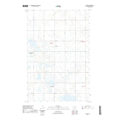
2020 Map of Chaseley
USGS Topo · Published 2020About this map
Chaseley sits at the heart of this North Dakota landscape, centered near the intersection of Main St and 34th Ave NE. The township reflects a classic prairie grid system, where section lines dictate the path of local routes like 2nd St NE and 32nd Ave NE. A short distance north of the primary settlement, the Chaseley Cem serves as a silent witness to the area's pioneer roots and multi-generational history. To the west, the Wells County WPA indicates a significant managed wetland area, emphasizing the importance of waterfowl habitat and water conservation in this part of the state. The surrounding terrain is punctuated by numerous small basins and potholes, a characteristic of the regional hydrography that has shaped farming and land use patterns since the first homesteads were established.
Find a feature on this map
23 named features on this map. Tap any name to fly to it.
Don’t see what you’re looking for? This feature index may not catch every label — zoom into the map to look around manually.
Map Details
Editions of this 2020 Chaseley Map
This is the sole edition of this map. No revisions or reprints were ever made.
Other maps of this area

1945 · Manfred
USGS Topo · 1:62,500

1948 · Fessenden
USGS Topo · 1:62,500

1948 · Manfred
USGS Topo · 1:62,500

1949 · Fessenden SW
USGS Topo · 1:24,000

1949 · Manfred SW
USGS Topo · 1:24,000

1950 · Manfred SE
USGS Topo · 1:24,000

1950 · Manfred SW
USGS Topo · 1:24,000

1951 · Bowdon
USGS Topo · 1:24,000

1952 · New Rockford
USGS Topo · 1:250,000

1956 · New Rockford
USGS Topo · 1:250,000