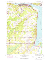
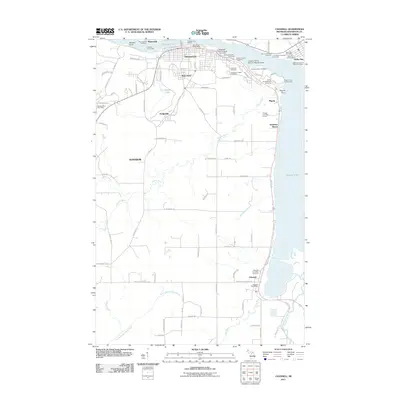
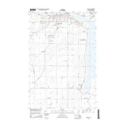
1946 Map of Chassell
USGS Topo · Published 1976About this map
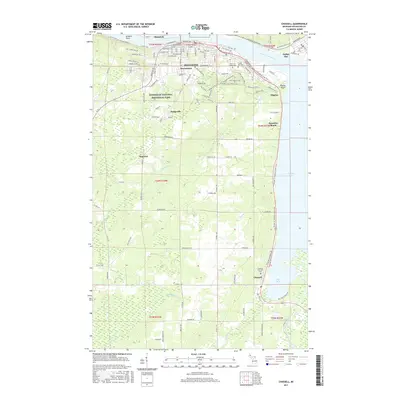
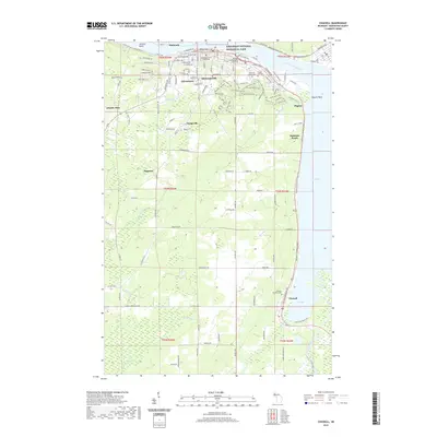
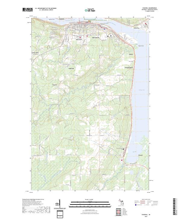
Houghton and Hancock anchor the northern reaches of this map, situated on the banks of Portage Lake in the heart of Michigan’s Copper Country. The landscape is defined by its deep mining heritage, with sites like the Isle Royale Mine and the Old Superior Mine marking the transition from industrial extraction to more diverse land use. Institutional history is prominent at the Michigan College of Mining and Technology, while community centers like Hurontown, Dodgeville, and Chassell trace the settlement patterns that followed the mineral veins and the Soo Line railroad.
Find a feature on this map
34 named features on this map. Tap any name to fly to it.
Don’t see what you’re looking for? This feature index may not catch every label — zoom into the map to look around manually.
Map Details
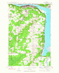
Editions of this 1946 Chassell Map
2 editions found
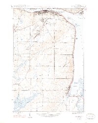
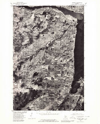
Historical Maps of Houghton Through Time
8 maps found
Featured Locations
- Hancock, MI
- Houghton, MI
- Best, Chassell Township
- Chassell, Chassell Township
- Hurontown, Portage Township