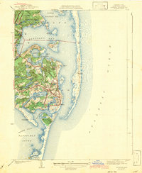
1943 Map of Chatham
USGS Topo · Published 1943About this map
Chatham Lighthouse and Stage Harbor Lighthouse guard the complex coastline of the Lower Cape in this early 1940s survey. The landscape is defined by its intimate connection to the sea, where Pleasant Bay and Nantucket Sound are separated by the fragile, shifting sands of Monomoy Island. Inland, the map reveals a dense network of freshwater kettle ponds such as Lovers Lake, Schoolhouse Pond, and the curiously named Uncle Israels Pond, illustrating the glacial legacy of the peninsula.
Find a feature on this map
68 named features on this map. Tap any name to fly to it.
Don’t see what you’re looking for? This feature index may not catch every label — zoom into the map to look around manually.
Map Details
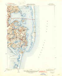
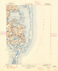
Editions of this 1943 Chatham Map
3 editions found
Other maps of this area

1887 · Wellfleet
USGS Topo · 1:62,500

1887 · Yarmouth
USGS Topo · 1:62,500

1888 · Chatham
USGS Topo · 1:62,500

1889 · Yarmouth
USGS Topo · 1:62,500

1889 · Wellfleet
USGS Topo · 1:62,500

1893 · Chatham
USGS Topo · 1:62,500

1893 · Yarmouth
USGS Topo · 1:62,500

1893 · Wellfleet
USGS Topo · 1:62,500

1917 · Chatham
USGS Topo · 1:62,500

1942 · Cape Cod Bay
USGS Topo · 1:125,000