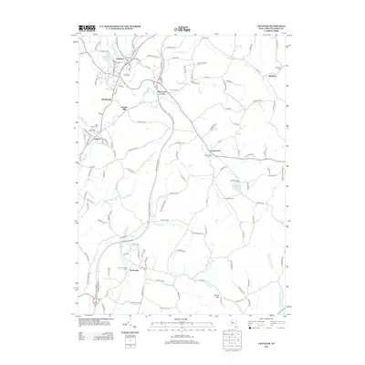
2013 Map of Chatham
USGS Topo · Published 2013About this map
Chatham and the surrounding hamlets of Columbia County are defined by a network of creeks and rolling hills that shaped early settlement patterns. Along the Kinderhook Cr and Kline Kill, historic nodes like Buckleyville and Arnolds Mill sit alongside established community centers. The map reveals a dense concentration of lineage-rich burial grounds, including the Chatham Rural Cem, Saint James Cem, and the Columbia County Cem. Southward, the landscape rises toward Kijk-Uit Mtn as the Agawamuck Cr winds through Harlemville. This modern survey records the enduring footprint of agricultural life at Braley's Farm and Punsit Valley Farm, illustrating how centuries-old farmsteads and rural crossroads have persisted amidst the modern transportation corridors of eastern New York.
Find a feature on this map
127 named features on this map. Tap any name to fly to it.
Don’t see what you’re looking for? This feature index may not catch every label — zoom into the map to look around manually.
Map Details
Editions of this 2013 Chatham Map
This is the sole edition of this map. No revisions or reprints were ever made.
Other maps of this area

1885 · Sheffield
USGS Topo · 1:62,500

1888 · Sheffield
USGS Topo · 1:62,500

1888 · Pittsfield
USGS Topo · 1:62,500

1890 · Pittsfield
USGS Topo · 1:62,500

1891 · Sheffield
USGS Topo · 1:62,500

1893 · Sheffield
USGS Topo · 1:62,500

1893 · Pittsfield
USGS Topo · 1:62,500

1894 · Pittsfield
USGS Topo · 1:62,500

1897 · Pittsfield
USGS Topo · 1:62,500

1897 · Sheffield
USGS Topo · 1:62,500