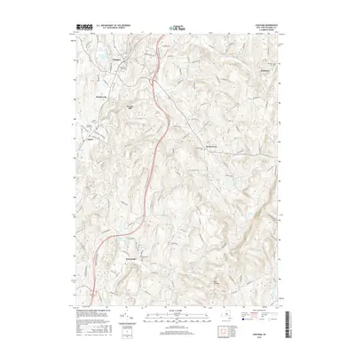
2016 Map of Chatham
USGS Topo · Published 2016About this map
Chatham and its surrounding hamlets are defined by a network of winding creeks and rising elevations in the mid-2010s. The landscape is dotted with ancestral markers, from the large Chatham Rural Cem near the town center to the Red Rock Cem in the northeastern corner. Waterways such as Agawamuck Cr and Kline Kill flow through the valley floors, once powering local industry as evidenced by the namesake Arnolds Mill. The terrain rises significantly toward the south, culminating at Kijk-Uit Mtn.
Find a feature on this map
123 named features on this map. Tap any name to fly to it.
Don’t see what you’re looking for? This feature index may not catch every label — zoom into the map to look around manually.
Map Details
Editions of this 2016 Chatham Map
This is the sole edition of this map. No revisions or reprints were ever made.
Other maps of this area
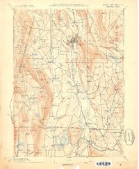
1885 · Sheffield
USGS Topo · 1:62,500
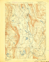
1888 · Sheffield
USGS Topo · 1:62,500
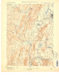
1888 · Pittsfield
USGS Topo · 1:62,500
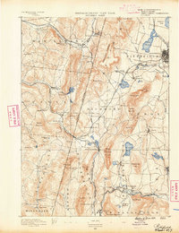
1890 · Pittsfield
USGS Topo · 1:62,500
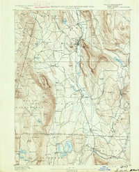
1891 · Sheffield
USGS Topo · 1:62,500
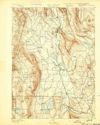
1893 · Sheffield
USGS Topo · 1:62,500
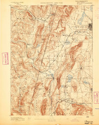
1893 · Pittsfield
USGS Topo · 1:62,500
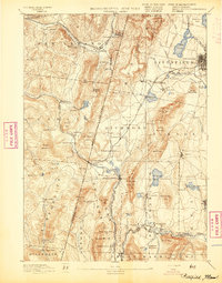
1894 · Pittsfield
USGS Topo · 1:62,500
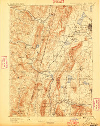
1897 · Pittsfield
USGS Topo · 1:62,500
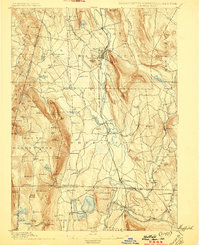
1897 · Sheffield
USGS Topo · 1:62,500