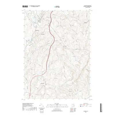
2019 Map of Chatham
USGS Topo · Published 2019About this map
Chatham and its surrounding hamlets in Columbia County sit at a nexus of creek valleys and rolling uplands. The landscape is defined by the winding courses of the Kline Kill, Agawamuck Cr, and Punsit Cr, which historically dictated the placement of settlements like Arnolds Mill and Buckleyville. This survey illustrates a resilient rural pattern where clustered communities remain tied to the terrain, from the village of Ghent to the high ground near Kijk-Uit Mtn.
Find a feature on this map
122 named features on this map. Tap any name to fly to it.
Don’t see what you’re looking for? This feature index may not catch every label — zoom into the map to look around manually.
Map Details
Editions of this 2019 Chatham Map
This is the sole edition of this map. No revisions or reprints were ever made.
Other maps of this area

1885 · Sheffield
USGS Topo · 1:62,500

1888 · Sheffield
USGS Topo · 1:62,500

1888 · Pittsfield
USGS Topo · 1:62,500

1890 · Pittsfield
USGS Topo · 1:62,500

1891 · Sheffield
USGS Topo · 1:62,500

1893 · Sheffield
USGS Topo · 1:62,500

1893 · Pittsfield
USGS Topo · 1:62,500

1894 · Pittsfield
USGS Topo · 1:62,500

1897 · Pittsfield
USGS Topo · 1:62,500

1897 · Sheffield
USGS Topo · 1:62,500