
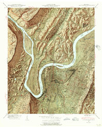
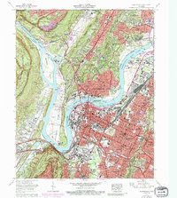
1960 Map of Chattanooga
USGS Topo · Published 1960About this map
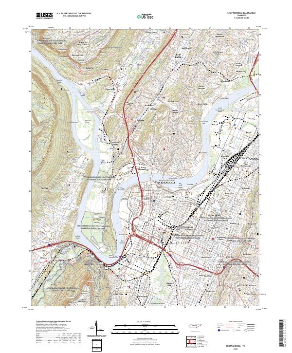
The Tennessee River corridor dominates this regional study, revealing the complex managed waterway system of the mid-twentieth century. The landscape is defined by the sharp transition between the Cumberland Plateau to the west and the ridge-and-valley topography to the east, anchored by the industrial and transportation hub of Chattanooga. This era shows the full integration of the Tennessee Valley Authority's influence, with Watts Bar Reservoir, Chickamauga Reservoir, and Hales Bar Reservoir creating a continuous chain of inland water.
Find a feature on this map
70 named features on this map. Tap any name to fly to it.
Don’t see what you’re looking for? This feature index may not catch every label — zoom into the map to look around manually.
Map Details
Editions of this 1960 Chattanooga Map
This is the sole edition of this map. No revisions or reprints were ever made.
Historical Maps of Knoxville Through Time
19 maps found

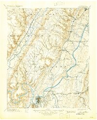
1888 Chattanooga
Hamilton County, TN
1893 Chattanooga
Hamilton County, TN

1936 Chattanooga
Hamilton County, TN
1940 Chattanooga
Hamilton County, TN
1941 Chattanooga
Hamilton County, TN

1953 Chattanooga
Hamilton County, TN

1957 Chattanooga
Hamilton County, TN
1958 Chattanooga
Hamilton County, TN

1959 Chattanooga
Hamilton County, TN
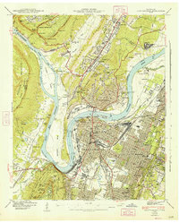
1960 Chattanooga
Hamilton County, TN

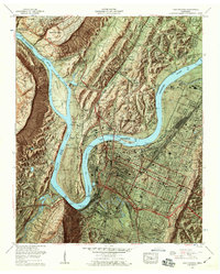
1964 Chattanooga
Hamilton County, TN
1969 Chattanooga
Hamilton County, TN

1979 Chattanooga
Hamilton County, TN

1988 Chattanooga
Hamilton County, TN
2010 Chattanooga
Hamilton County, TN

2013 Chattanooga
Hamilton County, TN
2016 Chattanooga
Hamilton County, TN
2019 Chattanooga
Hamilton County, TN
2022 Chattanooga
Hamilton County, TN