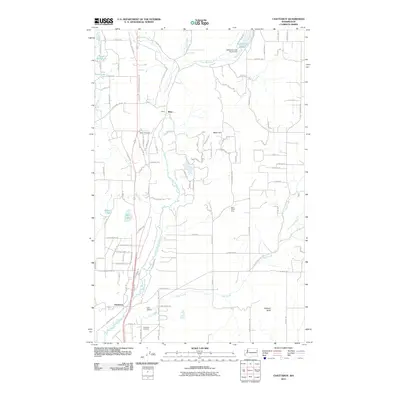
2011 Map of Chattaroy
USGS Topo · Published 2011About this map
The Little Spokane River and its numerous tributaries, including Bear Creek and Deer Creek, carve through this landscape in Spokane County. The settlement of Milan serves as a northern anchor, while Chattaroy is situated to the south where the river meets the surrounding valley floor. This 2011 survey captures the interface of established rural communities and the natural topography of Milan Hill.
Find a feature on this map
101 named features on this map. Tap any name to fly to it.
Don’t see what you’re looking for? This feature index may not catch every label — zoom into the map to look around manually.
Map Details
Editions of this 2011 Chattaroy Map
This is the sole edition of this map. No revisions or reprints were ever made.
Other maps of this area

1901 · Spokane
USGS Topo · 1:125,000

1936 · Newport
USGS Topo · 1:96,000

1942 · Newport
USGS Topo · 1:125,000

1943 · Mt Spokane
USGS Topo · 1:62,500

1949 · Deer Park
USGS Topo · 1:62,500

1950 · Mt Spokane
USGS Topo · 1:62,500

1951 · Deer Park
USGS Topo · 1:62,500

1955 · Spokane
USGS Topo · 1:250,000

1958 · Spokane
USGS Topo · 1:250,000

1958 · Sandpoint
USGS Topo · 1:250,000