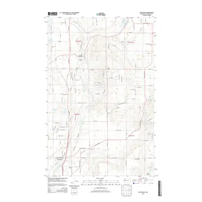
2014 Map of Chattaroy
USGS Topo · Published 2014About this map
The Little Spokane River winds through the heart of this landscape, anchoring the historic communities of Milan and Chattaroy. This 2014 survey documents a region defined by its water and agriculture, where the W Br Little Spokane River joins the main stem near the Deer Park-Milan Road Bridge. The map details the local road network connecting family-named landmarks and rural hubs, including the high ground of Milan Hill and the seasonal waters of Bear Lake and Owens Lake.
Find a feature on this map
112 named features on this map. Tap any name to fly to it.
Don’t see what you’re looking for? This feature index may not catch every label — zoom into the map to look around manually.
Map Details
Editions of this 2014 Chattaroy Map
This is the sole edition of this map. No revisions or reprints were ever made.
Other maps of this area

1901 · Spokane
USGS Topo · 1:125,000

1936 · Newport
USGS Topo · 1:96,000

1942 · Newport
USGS Topo · 1:125,000

1943 · Mt Spokane
USGS Topo · 1:62,500

1949 · Deer Park
USGS Topo · 1:62,500

1950 · Mt Spokane
USGS Topo · 1:62,500

1951 · Deer Park
USGS Topo · 1:62,500

1955 · Spokane
USGS Topo · 1:250,000

1958 · Spokane
USGS Topo · 1:250,000

1958 · Sandpoint
USGS Topo · 1:250,000