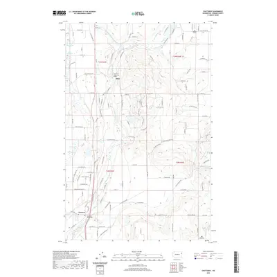
2020 Map of Chattaroy
USGS Topo · Published 2020About this map
The Little Spokane River carves a central path through this portion of Spokane County, defining the valley where the communities of Chattaroy and Milan are situated. This landscape is characterized by a network of drainage systems, including Bear Cr, Otter Cr, and Deer Cr, which feed into the main river channel. The topography rises toward Milan Hill and the plateau of Orchard Bluff, while the lowlands contain significant water features like Owens Lake and the aptly named Dead-Mans Lake.
Find a feature on this map
122 named features on this map. Tap any name to fly to it.
Don’t see what you’re looking for? This feature index may not catch every label — zoom into the map to look around manually.
Map Details
Editions of this 2020 Chattaroy Map
This is the sole edition of this map. No revisions or reprints were ever made.
Other maps of this area
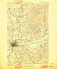
1901 · Spokane
USGS Topo · 1:125,000
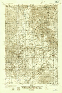
1936 · Newport
USGS Topo · 1:96,000
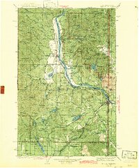
1942 · Newport
USGS Topo · 1:125,000
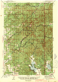
1943 · Mt Spokane
USGS Topo · 1:62,500
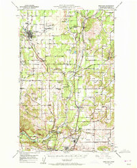
1949 · Deer Park
USGS Topo · 1:62,500
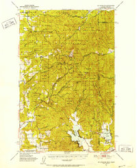
1950 · Mt Spokane
USGS Topo · 1:62,500
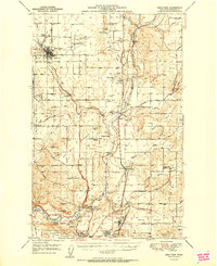
1951 · Deer Park
USGS Topo · 1:62,500
1955 · Spokane
USGS Topo · 1:250,000
1958 · Spokane
USGS Topo · 1:250,000
1958 · Sandpoint
USGS Topo · 1:250,000