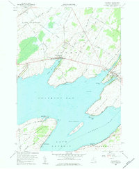
1958 Map of Chaumont
USGS Topo · Published 1958About this map
Lake Ontario's eastern coastline forms a complex landscape of sheltered bays and deep peninsulas in this late 1950s survey of Jefferson County. The settlement at Chaumont sits at the head of Sawmill Bay, where the Chaumont River enters the lake. This area is defined by its maritime geography, featuring the prominent Point Salubrious and Point Peninsula, the latter connected to the mainland by a narrow neck along Carrying Place Road. The presence of numerous family-named burial grounds, such as Wells Cem and Harris Cem, indicates a well-established rural population. Shoreline development is visible at Herrick Grove and around Three Mile Bay, while inland, a railroad line and several quarries point to the local industrial and transportation infrastructure of the era. Public recreation is established at Long Point State Park, protecting one of the many limestone points that reach into Chaumont Bay.
Find a feature on this map
51 named features on this map. Tap any name to fly to it.
Don’t see what you’re looking for? This feature index may not catch every label — zoom into the map to look around manually.
Map Details
Editions of this 1958 Chaumont Map
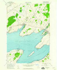
2 editions found
Other maps of this area

1893 · Sackets Harbor
USGS Topo · 1:62,500

1895 · Sacketts Harbor
USGS Topo · 1:62,500

1895 · Stony Island
USGS Topo · 1:62,500

1895 · Cape Vincent
USGS Topo · 1:62,500

1900 · Clayton
USGS Topo · 1:62,500

1903 · Clayton
USGS Topo · 1:62,500

1942 · Cape Vincent North
USGS Topo · 1:31,680

1942 · Henderson Bay
USGS Topo · 1:31,680

1942 · Chaumont
USGS Topo · 1:31,680

1942 · Sawmill Bay
USGS Topo · 1:31,680