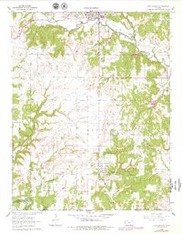
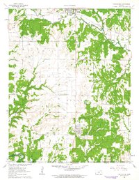
1962 Map of Chautauqua
USGS Topo · Published 1979About this map
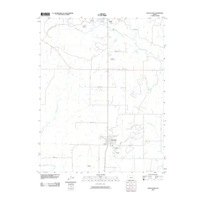
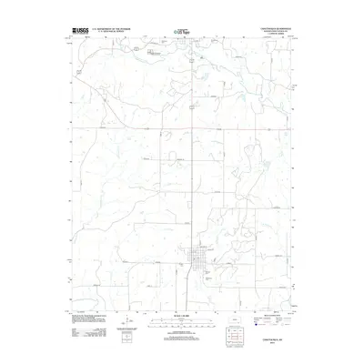
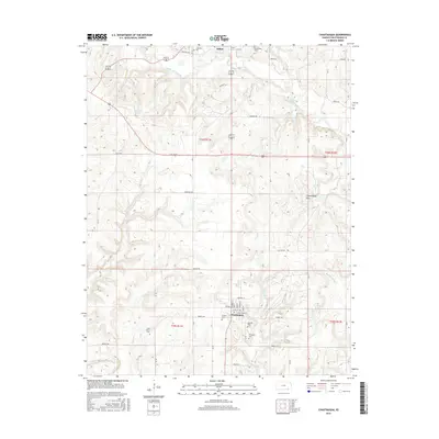
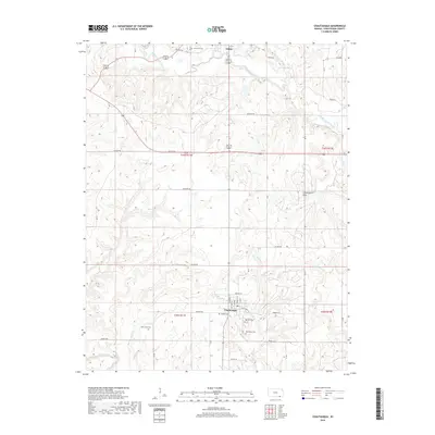
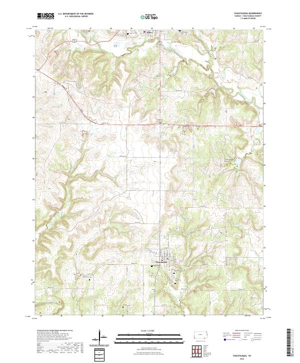
The Sedan Oil Field dominates the central landscape of this Southeast Kansas survey, illustrating the significant petroleum extraction industry that shaped Chautauqua County. Settlement is anchored by the town of Sedan, a rail hub on the Missouri Pacific line, and the southern village of Chautauqua near the Oklahoma state line. A striking historical marker, the Old Indian Treaty Boundary, bisects the southern half of the map, tracing a legacy of land division. Waterways like Middle Caney Creek and Wolf Creek wind through the hills, while the southern edge touches the waters of Hulah Res. Genealogists will find several rural burial sites, including Oak Grove Cem and Findley Cem, which serve as quiet markers of the area's early farming families and small-town pioneers during the mid-to-late twentieth century.
Find a feature on this map
29 named features on this map. Tap any name to fly to it.
Don’t see what you’re looking for? This feature index may not catch every label — zoom into the map to look around manually.
Map Details
Editions of this 1962 Chautauqua Map
2 editions found
Historical Maps of Sedan Through Time
6 maps found