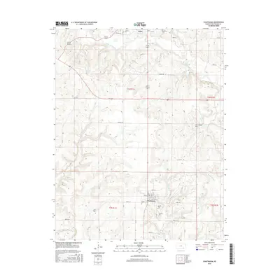
2015 Map of Chautauqua
USGS Topo · Published 2015About this map
Chautauqua and the southern edge of Sedan anchor this section of the Kansas landscape, defined by the winding course of Middle Caney Creek and its many tributaries. The area is characterized by the distinctive Chautauqua Hills terrain, where numerous small creeks like Turkey Cr, Coon Cr, and Little Cedar Cr have carved the local topography. This region serves as a notable focal point for genealogical research, containing several established burial grounds including Oak Hill Cem, McClarney Cem, and Oak Grove Cem. The map illustrates a grid of rural routes with evocative names such as Frontier Rd, Heritage Rd, and Cowboy Rd, reflecting the intersection of modern infrastructure and the historical character of the plains. Small-town layout is evident in the street names of Chautauqua, including Woolsey St and Laurel St, situated just north of the border with Oklahoma.
Find a feature on this map
37 named features on this map. Tap any name to fly to it.
Don’t see what you’re looking for? This feature index may not catch every label — zoom into the map to look around manually.
Map Details
Editions of this 2015 Chautauqua Map
This is the sole edition of this map. No revisions or reprints were ever made.
Other maps of this area

1885 · Sedan
USGS Topo · 1:125,000

1889 · Sedan
USGS Topo · 1:125,000

1909 · Pawhuska
USGS Topo · 1:125,000

1910 · Pawhuska
USGS Topo · 1:125,000

1955 · Wichita
USGS Topo · 1:250,000

1955 · Enid
USGS Topo · 1:250,000

1958 · Enid
USGS Topo · 1:250,000

1958 · Wichita
USGS Topo · 1:250,000

1962 · Sedan
USGS Topo · 1:24,000

1962 · Elgin NE
USGS Topo · 1:24,000