
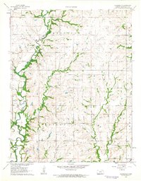
1962 Map of Elgin NE
USGS Topo · Published 1963About this map
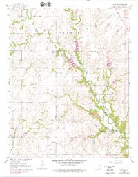
The Middle Caney River snakes through the heart of the Center and Summit townships in this early 1960s snapshot of Chautauqua County. The landscape is defined by its drainage network, with numerous tributaries including Butchers Branch, Spring Creek, and Rock Creek carving through the terrain. A notable geographic feature is Butcher Falls, located near where the river meets the Pacific rail line.
Find a feature on this map
23 named features on this map. Tap any name to fly to it.
Don’t see what you’re looking for? This feature index may not catch every label — zoom into the map to look around manually.
Map Details
Editions of this 1962 Elgin NE Map
2 editions found
Other maps of this area

1885 · Sedan
USGS Topo · 1:125,000

1889 · Sedan
USGS Topo · 1:125,000

1955 · Wichita
USGS Topo · 1:250,000

1958 · Wichita
USGS Topo · 1:250,000

1962 · Moline
USGS Topo · 1:24,000
1962 · Elk Falls
USGS Topo · 1:24,000

1962 · Sedan
USGS Topo · 1:24,000
1962 · Cedar Vale East
USGS Topo · 1:24,000
1962 · Elgin
USGS Topo · 1:24,000
1962 · Cloverdale
USGS Topo · 1:24,000