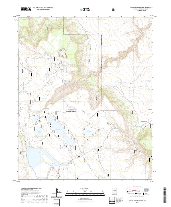
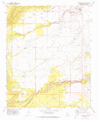
2021 Map of Chavez Mountain West
USGS Topo · Published 2021About this map
Coconino National Forest defines the southern half of this landscape, where the high desert terrain transitions into a complex system of drainage draws and seasonal water catchments. The northern section is dominated by the steep contours of Chavez Mtn and the sweeping Broomy Valley, while the central portion is marked by the presence of Long Lake and Soldier Annex Lake. This area was historically crucial for livestock movement, evidenced by the high density of named tanks such as East Soldier Tank and Bullfight Tank. To the east, Chavez Pass provides a significant geographic break between the mountains, serving as a landmark corridor through the high country. Near the eastern boundary, Lockwood Park sits adjacent to several smaller water features including Lockwood Tank, highlighting the localized infrastructure required for ranching in this arid environment.
Find a feature on this map
40 named features on this map. Tap any name to fly to it.
Don’t see what you’re looking for? This feature index may not catch every label — zoom into the map to look around manually.
Map Details
Editions of this 2021 Chavez Mountain West Map
This is the sole edition of this map. No revisions or reprints were ever made.
Other maps of this area

1887 · Verde
USGS Topo · 1:250,000

1892 · Verde
USGS Topo · 1:250,000

1954 · Holbrook
USGS Topo · 1:250,000

1957 · Holbrook
USGS Topo · 1:250,000

1958 · Holbrook
USGS Topo · 1:250,000

1960 · Holbrook
USGS Topo · 1:250,000
1970 · Kinnikinick Lake
USGS Topo · 1:24,000
1970 · Turkey Mtn.
USGS Topo · 1:24,000
1970 · Jaycox Mtn.
USGS Topo · 1:24,000
1970 · Chavez Mtn NW
USGS Topo · 1:24,000