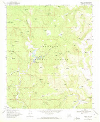
1970 Map of Turkey Mtn.
USGS Topo · Published 1972About this map
Coconino National Forest dominates this landscape, defined by a complex network of canyons and draws used for cattle ranching and water management in the early 1970s. The area around Willow Valley is a focal point of infrastructure, featuring the Willow Valley Dam and nearby Wingfield Corral, illustrating the importance of livestock operations in this high-country terrain. The map meticulously documents a vast array of named stock tanks, such as Turkey Tank, Two Jim Tank, and Prairie Dog Tank, which supported herds across the diverse topography of Turkey Mtn and Long Mesa.
Find a feature on this map
81 named features on this map. Tap any name to fly to it.
Don’t see what you’re looking for? This feature index may not catch every label — zoom into the map to look around manually.
Map Details
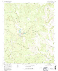
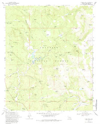
Editions of this 1970 Turkey Mtn. Map
3 editions found
Other maps of this area

1887 · Verde
USGS Topo · 1:250,000

1892 · Verde
USGS Topo · 1:250,000

1954 · Holbrook
USGS Topo · 1:250,000

1957 · Holbrook
USGS Topo · 1:250,000

1958 · Holbrook
USGS Topo · 1:250,000

1960 · Holbrook
USGS Topo · 1:250,000
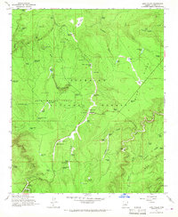
1965 · Long Valley
USGS Topo · 1:24,000
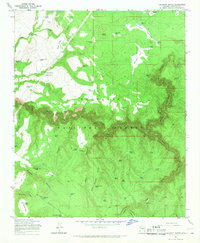
1965 · Calloway Butte
USGS Topo · 1:24,000
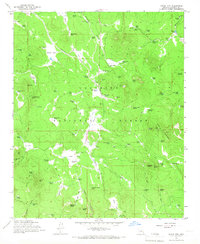
1965 · Hutch Mtn.
USGS Topo · 1:24,000
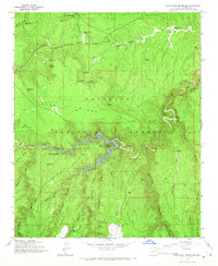
1965 · Blue Ridge Reservoir
USGS Topo · 1:24,000