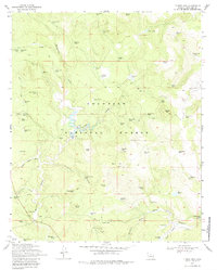
1970 Map of Turkey Mtn.
USGS Topo · Published 1979About this map
The Coconino National Forest is defined here by an extensive system of man-made water tanks and catchments, essential infrastructure for ranching and forest management in this arid high-country environment. At the center of this 1970 field-checked survey lies the Willow Valley Dam and its associated spillway, which controls drainage through Willow Valley. The landscape is a network of draws and knolls, including Turkey Mtn and Oak Hill, punctuated by working ranch sites like the Bar D Corral and Wingfield Corral. Numerous named tanks such as McVickers Tank and Gonzales Tank are scattered across the terrain, connected by a web of jeep trails. This survey captures a specific era of land use where primitive roads and water infrastructure supported both wildlife and livestock within the timbered draws of Bargaman Draw and Antelope Draw.
Find a feature on this map
77 named features on this map. Tap any name to fly to it.
Don’t see what you’re looking for? This feature index may not catch every label — zoom into the map to look around manually.
Map Details
Editions of this 1970 Turkey Mtn. Map
3 editions found
Other maps of this area

1887 · Verde
USGS Topo · 1:250,000

1892 · Verde
USGS Topo · 1:250,000

1954 · Holbrook
USGS Topo · 1:250,000

1957 · Holbrook
USGS Topo · 1:250,000

1958 · Holbrook
USGS Topo · 1:250,000

1960 · Holbrook
USGS Topo · 1:250,000
1965 · Long Valley
USGS Topo · 1:24,000
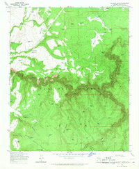
1965 · Calloway Butte
USGS Topo · 1:24,000
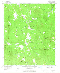
1965 · Hutch Mtn.
USGS Topo · 1:24,000
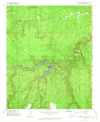
1965 · Blue Ridge Reservoir
USGS Topo · 1:24,000