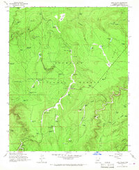
1965 Map of Long Valley
USGS Topo · Published 1967About this map
Long Valley and the surrounding high country of the Coconino National Forest define this 1960s U.S. Forest Service mapping effort. The landscape is characterized by a sophisticated water management network of livestock tanks and draws, such as Wolf Hole Tank and McClure Lake, supporting ranching operations within the federal timberlands. A focal point of local activity is Clints Well, situated near a Campground and the Ranger Station, marking a key junction in the forest's administrative and recreational geography.
Find a feature on this map
84 named features on this map. Tap any name to fly to it.
Don’t see what you’re looking for? This feature index may not catch every label — zoom into the map to look around manually.
Map Details
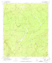
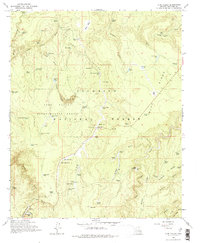
Editions of this 1965 Long Valley Map
3 editions found
Other maps of this area

1887 · Verde
USGS Topo · 1:250,000

1892 · Verde
USGS Topo · 1:250,000

1934 · Pine
USGS Topo · 1:62,500

1934 · Promontory Butte
USGS Topo · 1:62,500

1939 · Promontory Butte
USGS Topo · 1:62,500

1940 · Pine
USGS Topo · 1:62,500

1952 · Pine
USGS Topo · 1:62,500

1952 · Promontory Butte
USGS Topo · 1:62,500

1954 · Holbrook
USGS Topo · 1:250,000

1957 · Holbrook
USGS Topo · 1:250,000