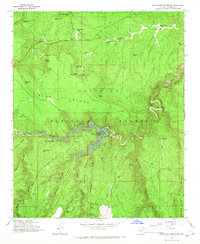
1965 Map of Blue Ridge Reservoir
USGS Topo · Published 1967About this map
Blue Ridge Reservoir winds through the heart of the Coconino National Forest in this mid-1960s survey, its waters contained by a dam at Spillway Elev 6720. The landscape is a high-country maze of ridges and draws, notably including the Battle of Big Dry Wash Historical Monument, marking a site of significant conflict on the Mogollon Rim. This era of forest management is well-documented through the presence of the Timber Ranger Station, Pinchot Guard Sta, and the Moqui Lookout Tower.
Find a feature on this map
67 named features on this map. Tap any name to fly to it.
Don’t see what you’re looking for? This feature index may not catch every label — zoom into the map to look around manually.
Map Details
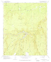
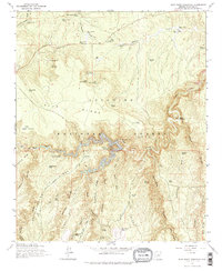
Editions of this 1965 Blue Ridge Reservoir Map
3 editions found
Other maps of this area

1887 · Verde
USGS Topo · 1:250,000

1892 · Verde
USGS Topo · 1:250,000

1934 · Pine
USGS Topo · 1:62,500

1934 · Promontory Butte
USGS Topo · 1:62,500

1939 · Promontory Butte
USGS Topo · 1:62,500

1940 · Pine
USGS Topo · 1:62,500

1952 · Pine
USGS Topo · 1:62,500

1952 · Promontory Butte
USGS Topo · 1:62,500

1954 · Holbrook
USGS Topo · 1:250,000

1957 · Holbrook
USGS Topo · 1:250,000