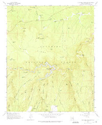
1965 Map of Blue Ridge Reservoir
USGS Topo · Published 1975About this map
The Battle of Big Dry Wash Historical Monument stands as a significant historical marker on this 1965 survey of the Coconino National Forest. Located along the southern rim of the Blue Ridge Reservoir, the landscape is defined by deep drainage systems like Barbershop Canyon and Dane Canyon that cut through the high plateau. The map details the water management of the era, from the sprawling reservoir with its Pumping Sta and spillway to numerous stock tanks such as Moqui Tank and Yellow Jacket Tank. Forest Service activity is prominent, evidenced by the Moqui Lookout Tower, Timber Ranger Station, and Pinchot Guard Sta. Early transportation routes are preserved through labels like the Kinder Crossing Trail and Horse Crossing Trail, providing a look at the backcountry access points used by ranchers and rangers before modern developments.
Find a feature on this map
68 named features on this map. Tap any name to fly to it.
Don’t see what you’re looking for? This feature index may not catch every label — zoom into the map to look around manually.
Map Details
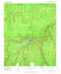
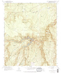
Editions of this 1965 Blue Ridge Reservoir Map
3 editions found
Other maps of this area

1887 · Verde
USGS Topo · 1:250,000

1892 · Verde
USGS Topo · 1:250,000

1934 · Pine
USGS Topo · 1:62,500

1934 · Promontory Butte
USGS Topo · 1:62,500

1939 · Promontory Butte
USGS Topo · 1:62,500

1940 · Pine
USGS Topo · 1:62,500

1952 · Pine
USGS Topo · 1:62,500

1952 · Promontory Butte
USGS Topo · 1:62,500

1954 · Holbrook
USGS Topo · 1:250,000

1957 · Holbrook
USGS Topo · 1:250,000